Hi Mark,
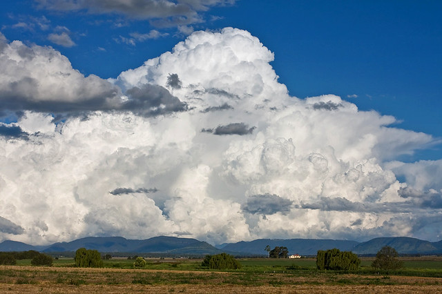
#1 the cloud that looks fake is a rare multiple pileus cap and certainly not added. The cumulus tower that can be seen punching through the cap forms quickly below layers of humid air in the atmosphere that are invisible but are compressed by the rising air and form the disks and pileus layers that you can see. It's a fair indication of severe weather, especially as it pushed further up into the atmosphere with the cell reaching cumulonimbus incus (anvil) stage, thunderstorm.
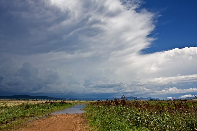
#2 is HDR.Thanks for the feedback.