Aright guys, its been a long while (6 months) since I posted in this thread. I have drone photos to share and figured I'd revive this thread rather than starting a new one.
Update: I've sold the phantom 4 pro and purchased a mavic pro. I really wanted a more portable drone that I could hike with or throw in a saddle bag on my motorcycle. So far, I'm incredibly happy with the change. I honestly like the photos from the mavic better than the phantom, despite the "worse" specs.
I took all five of these photos yesterday. The first two were in the morning at Hoyt Lake/Delaware Park in Buffalo. The last three were at hemlock lake in Livingston county, NY.
Personally, this is my favorite set of drone images I've produced to date.
1.) The Pedestrian Foot Bridge over the 198 in Buffalo
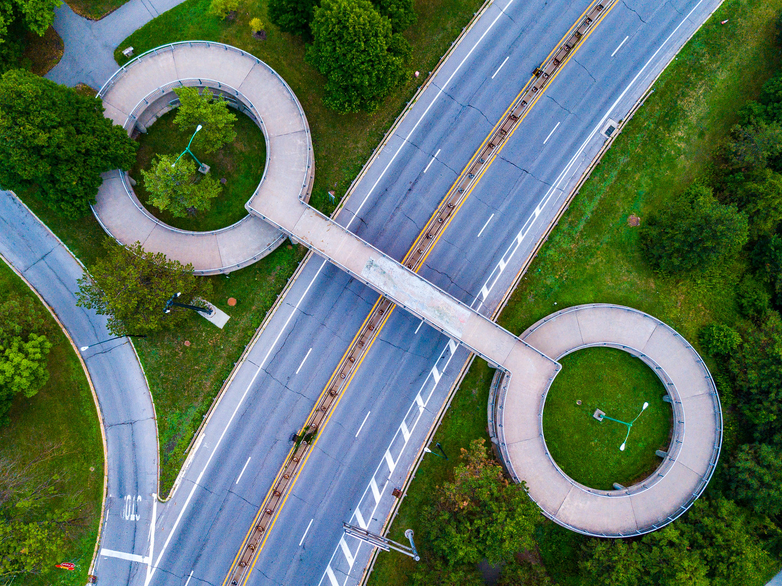 Untitled
 by
Destin Danser, on Flickr
2.) Rental Boats, Hoyt Lake.
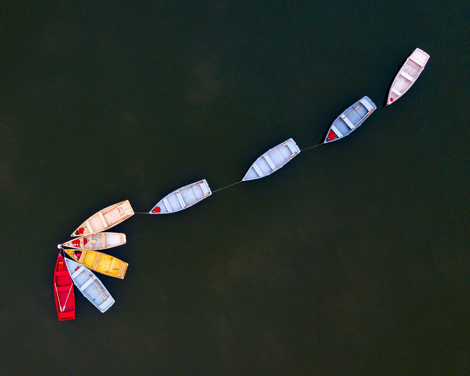 Untitled
 by
Destin Danser, on Flickr
3.) Part of the water intake/treatment at Hemlock Lake. Hemlock lake is a primary water source for Rochester, NY
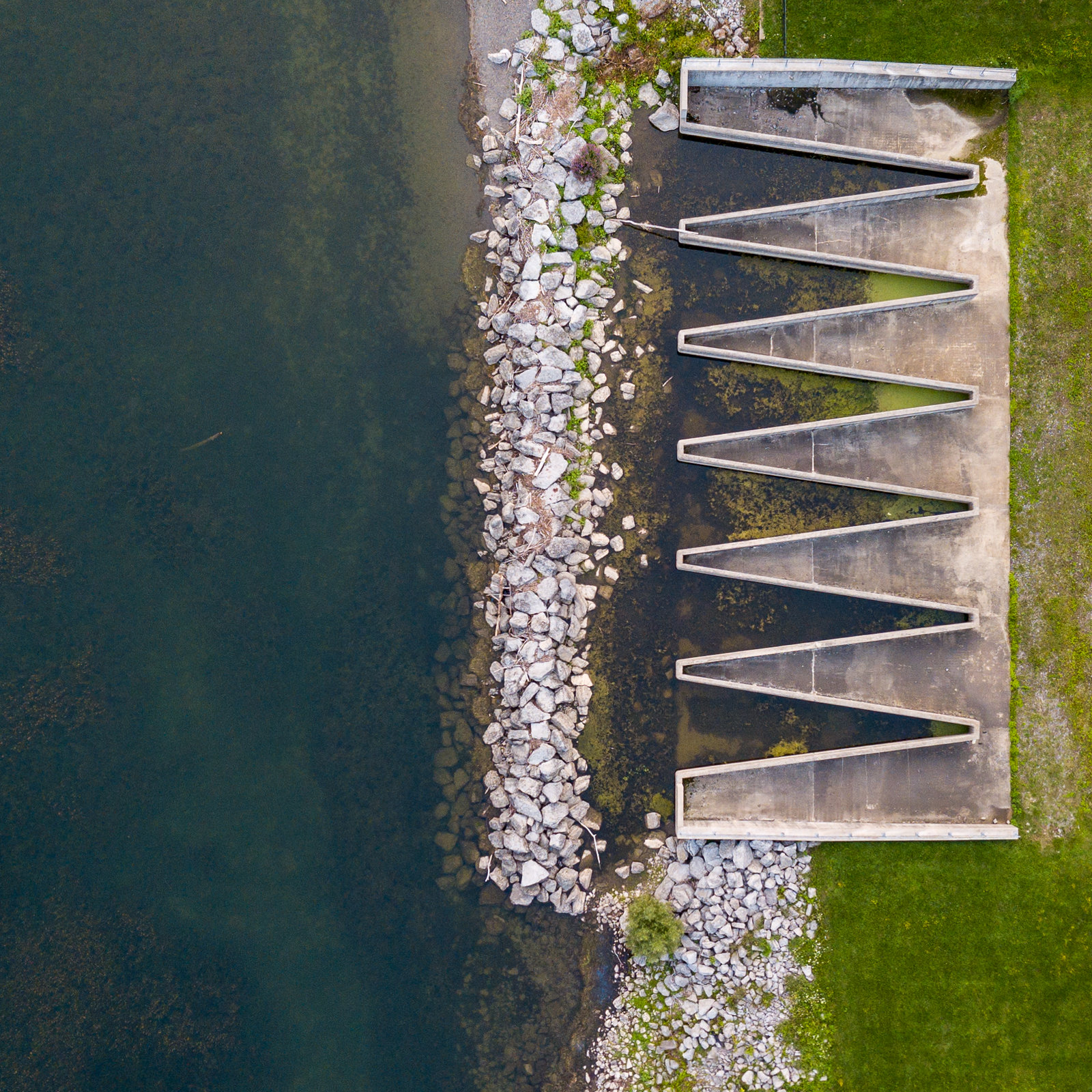 Untitled
 by
Destin Danser, on Flickr
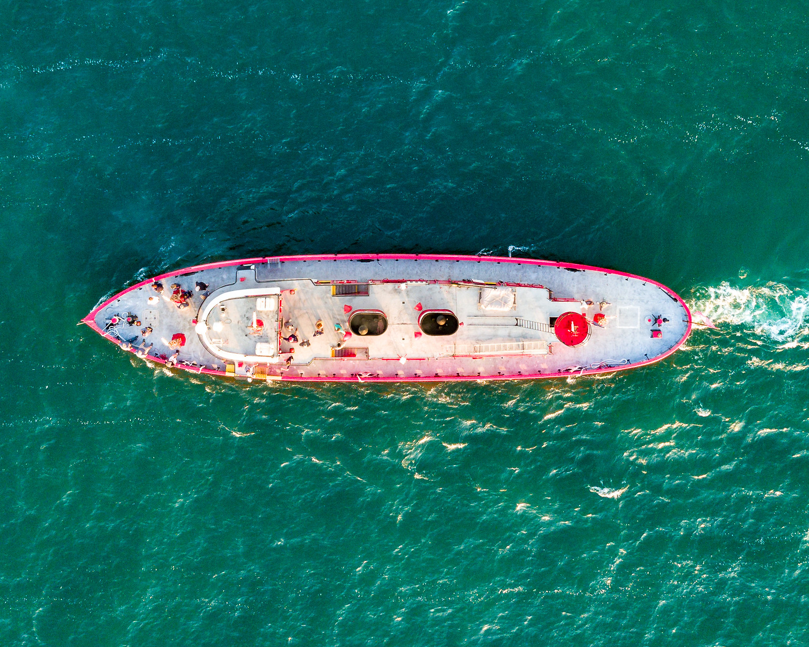
4.) Another part of the water intake/treatment at Hemlock Lake.
 Untitled
 by
Destin Danser, on Flickr
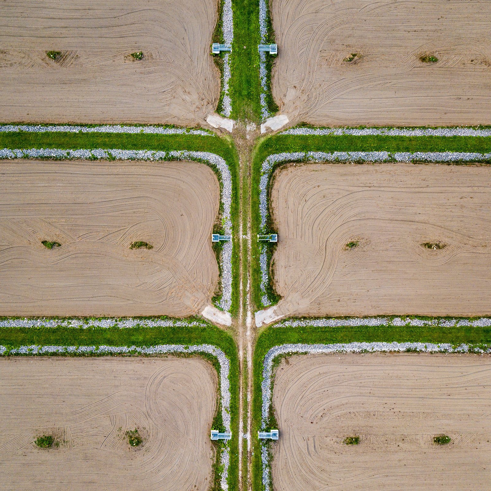
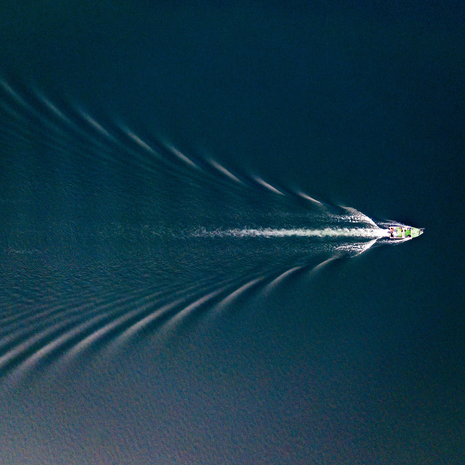
5.) A small fishing boat on hemlock lake
 Untitled
 by
Destin Danser, on Flickr


")
 Edward M Cotter
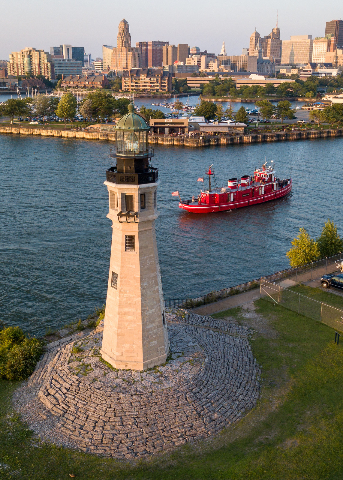 Buffalo Main Light
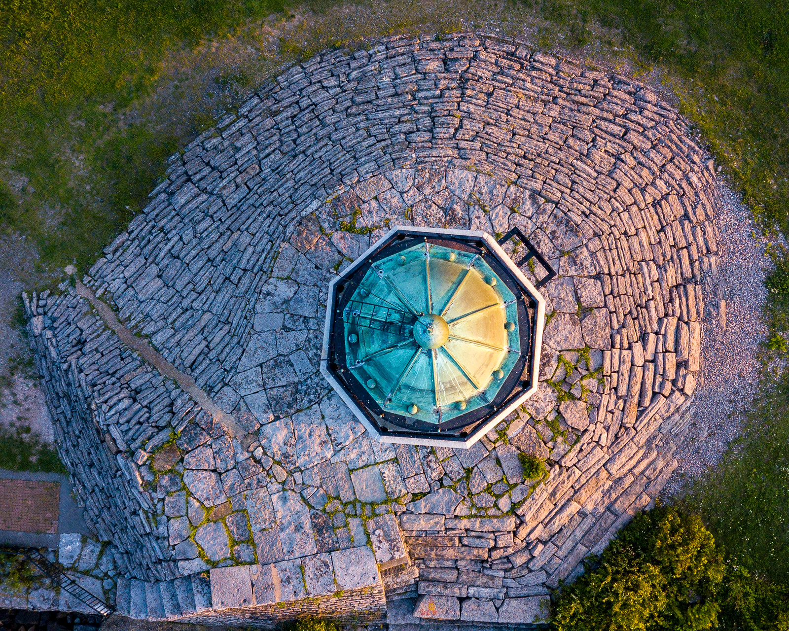 Buffalo Main Light
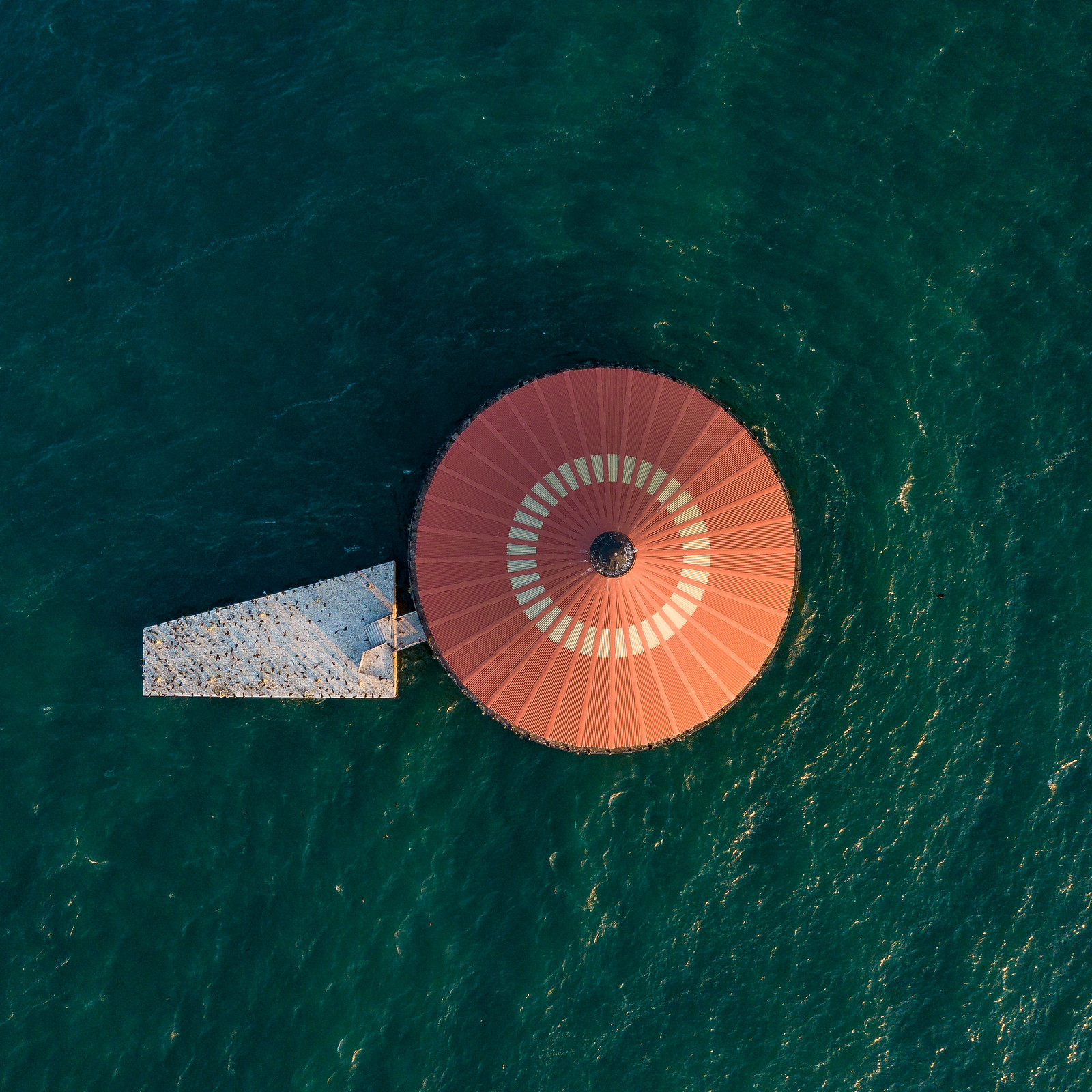 Buffalo Intake Crib Lighthouse

![[No title]](/data/xfmg/thumbnail/36/36399-041c9ebc3a39e89ec8e39243c0d43528.jpg?1734168785)


![[No title]](/data/xfmg/thumbnail/41/41795-6bc3a19e590a6be6bd169ab2acaee30d.jpg?1734176108)


![[No title]](/data/xfmg/thumbnail/31/31978-02cde49248ebdf1b82fba5c899e08378.jpg?1734160755)

![[No title]](/data/xfmg/thumbnail/32/32942-4440dd4ca2ff307a5d19277feedf1d94.jpg?1734162769)
![[No title]](/data/xfmg/thumbnail/33/33447-c3f5563c9b8b1f19498a3062f60f92b1.jpg?1734163486)
